-

Without GPS, will algorithms and sensors help soldiers know where they are?
Leidos’ ADEPT system uses overhead imagery to provide position, navigation and timing information in areas where GPS is blocked.
-
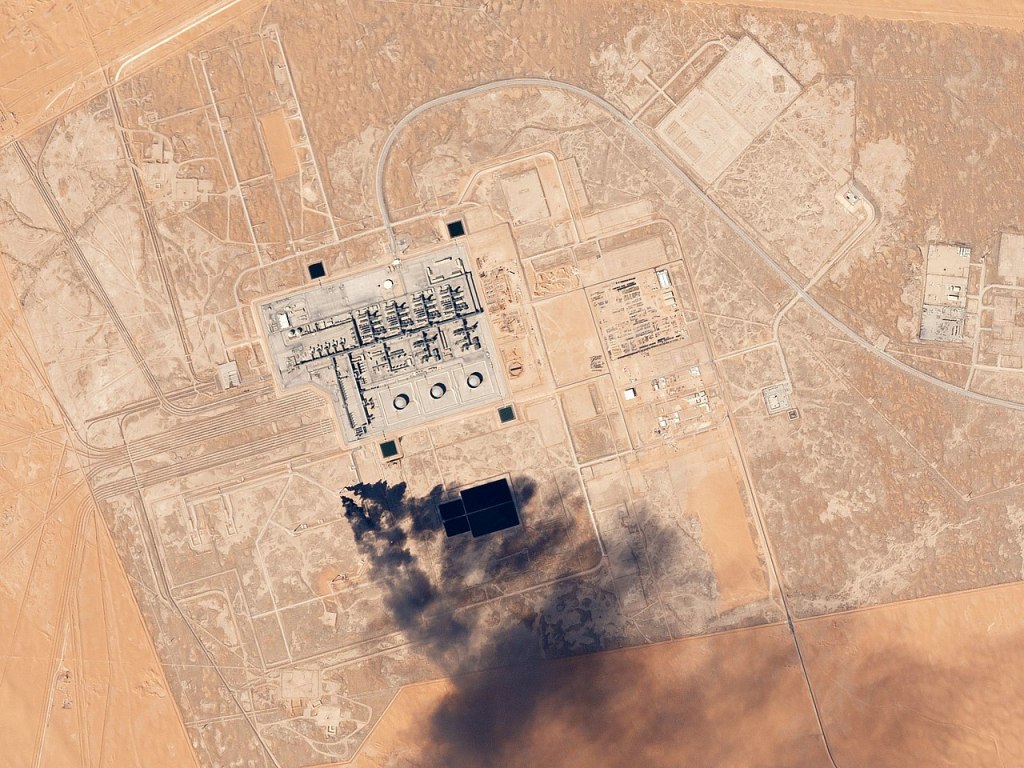
Planet has a new subscriber for its satellite imagery
As part of the ongoing transition of responsibility for commercial satellite imagery from the National Geospatial-Intelligence Agency to the National Reconnaissance Office, the NRO awarded Planet a contract for daily commercial imagery.
-

Why Mercury is investing $15M in microelectronics production
The investment in their Phoenix facility will allow them to build the trusted microelectronics the Department of Defense needs.
-
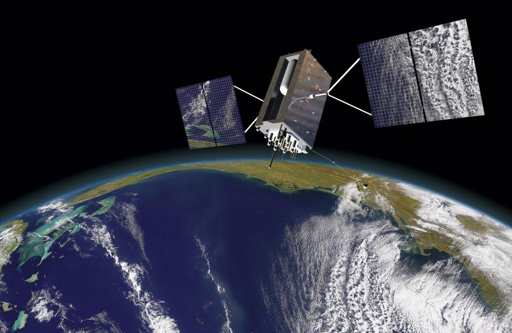
How does the Army know its new anti-spoofing antennas work?
The Army has bought Orolia’s new simulation technology that will allow them to test next generation anti-jamming, anti-spoofing antennas.
-
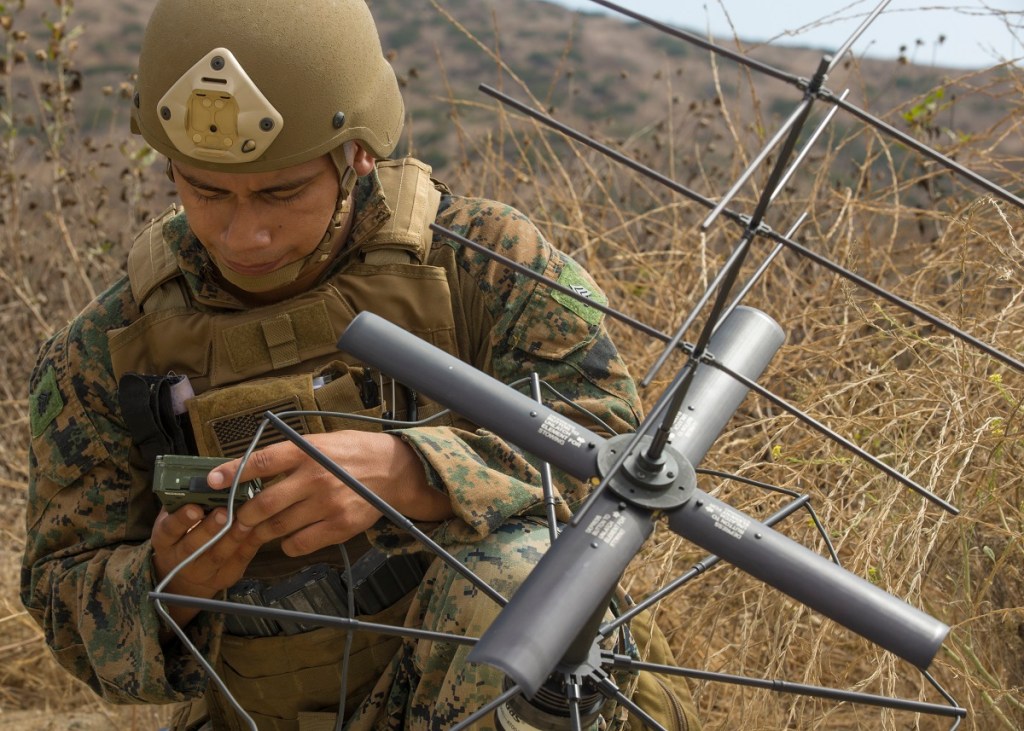
Do war fighters have the SATCOM connectivity they need? Survey says …
A new survey from Viasat and Government Business Council shows a gap between the connectivity levels war fighters expect and what they have on the battlefield.
-
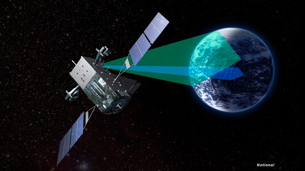
New missile warning satellites pass design test
The Air Force’s next generation early warning missile satellites have completed their preliminary design review according to the service’s Space and Missile Systems Center.
-

The data challenge of space-based hypersonics defense
Missile Defense Agency Director Vice Adm. Jon Hill says that ensuring that sensors can communicate with each other to track threats moving around the globe is essential to developing a space-based sensor layer in low earth orbit.
-

Can AI automate damage assessments after a disaster?
A new challenge asks participants to develop algorithms capable of detecting buildings and assessing and classifying and damage.
-
DARPA wants a robotic satellite mechanic launched by 2022
DARPA expects to have a new commercial partner lined up for the Robotic Servicing of Geosynchronous Satellites spacecraft by the end of the year.
-

Is the NGA full of ‘recovering monopolists?’
Former National Geospatial-Intelligence Director Robert Cardillo says the agency needs to move faster in adapting to a modern world where the NGA is no longer the sole source of GEOINT.
-
Without GPS, will algorithms and sensors help soldiers know where they are?
Leidos’ ADEPT system uses overhead imagery to provide position, navigation and timing information in areas where GPS is blocked.
-
Planet has a new subscriber for its satellite imagery
As part of the ongoing transition of responsibility for commercial satellite imagery from the National Geospatial-Intelligence Agency to the National Reconnaissance Office, the NRO awarded Planet a contract for daily commercial imagery.
-
Why Mercury is investing $15M in microelectronics production
The investment in their Phoenix facility will allow them to build the trusted microelectronics the Department of Defense needs.
-
How does the Army know its new anti-spoofing antennas work?
The Army has bought Orolia’s new simulation technology that will allow them to test next generation anti-jamming, anti-spoofing antennas.
-
Do war fighters have the SATCOM connectivity they need? Survey says …
A new survey from Viasat and Government Business Council shows a gap between the connectivity levels war fighters expect and what they have on the battlefield.
-
New missile warning satellites pass design test
The Air Force’s next generation early warning missile satellites have completed their preliminary design review according to the service’s Space and Missile Systems Center.
-
The data challenge of space-based hypersonics defense
Missile Defense Agency Director Vice Adm. Jon Hill says that ensuring that sensors can communicate with each other to track threats moving around the globe is essential to developing a space-based sensor layer in low earth orbit.
-
Can AI automate damage assessments after a disaster?
A new challenge asks participants to develop algorithms capable of detecting buildings and assessing and classifying and damage.
-
DARPA wants a robotic satellite mechanic launched by 2022
DARPA expects to have a new commercial partner lined up for the Robotic Servicing of Geosynchronous Satellites spacecraft by the end of the year.
-
Is the NGA full of ‘recovering monopolists?’
Former National Geospatial-Intelligence Director Robert Cardillo says the agency needs to move faster in adapting to a modern world where the NGA is no longer the sole source of GEOINT.
-
Without GPS, will algorithms and sensors help soldiers know where they are?
Leidos’ ADEPT system uses overhead imagery to provide position, navigation and timing information in areas where GPS is blocked.
-
Planet has a new subscriber for its satellite imagery
As part of the ongoing transition of responsibility for commercial satellite imagery from the National Geospatial-Intelligence Agency to the National Reconnaissance Office, the NRO awarded Planet a contract for daily commercial imagery.
-
Why Mercury is investing $15M in microelectronics production
The investment in their Phoenix facility will allow them to build the trusted microelectronics the Department of Defense needs.
-
How does the Army know its new anti-spoofing antennas work?
The Army has bought Orolia’s new simulation technology that will allow them to test next generation anti-jamming, anti-spoofing antennas.
-
Do war fighters have the SATCOM connectivity they need? Survey says …
A new survey from Viasat and Government Business Council shows a gap between the connectivity levels war fighters expect and what they have on the battlefield.
-
New missile warning satellites pass design test
The Air Force’s next generation early warning missile satellites have completed their preliminary design review according to the service’s Space and Missile Systems Center.
-
The data challenge of space-based hypersonics defense
Missile Defense Agency Director Vice Adm. Jon Hill says that ensuring that sensors can communicate with each other to track threats moving around the globe is essential to developing a space-based sensor layer in low earth orbit.
-
Can AI automate damage assessments after a disaster?
A new challenge asks participants to develop algorithms capable of detecting buildings and assessing and classifying and damage.
-
DARPA wants a robotic satellite mechanic launched by 2022
DARPA expects to have a new commercial partner lined up for the Robotic Servicing of Geosynchronous Satellites spacecraft by the end of the year.
-
Is the NGA full of ‘recovering monopolists?’
Former National Geospatial-Intelligence Director Robert Cardillo says the agency needs to move faster in adapting to a modern world where the NGA is no longer the sole source of GEOINT.