-
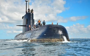
Behind the hunt for a missing sub: sensors, underwater drones
The United States has deployed a NASA patrol plane equipped with advanced sensor technology and underwater drones from the U.S. Navy to help search for a missing Argentine submarine and its 44 member crew,
-

Counterterrorism chief stepping down later this year
Nick Rasmussen will leave the government at the end of this year.
-
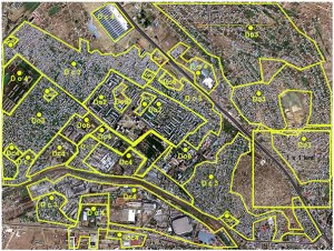
Congressmen introduce bills to standardize agencies’ geospatial data
A reintroduced set of bills in the House and Senate would improve the standardization of geospatial data across federal agencies.
-

Satellite imagery offers clues to China’s intentions in Djibouti
China began construction of the base in March last year after it secured of a 10-year lease for what it had said will be a logistics support base used to resupply ships taking part in peacekeeping and humanitarian missions in the Gulf of Aden and Arabian Sea.
-
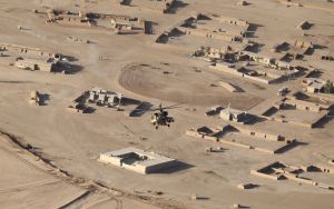
What World Bank learned from satellite images: ISIS sucked at oil production
It’s a good idea to understand how such a group can harness the resources it commands, and turn them into the fuel for a grotesque war machine. So, for all its bloodshed, how much oil did the Islamic State ultimately produce?
-
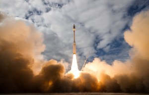
Planet Labs adds 10 imagery satellites to its flock
The six SkySat spacecraft and four miniature Dove satellites were launched Tuesday afternoon aboard an Orbital ATK Minotaur C rocket.
-
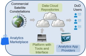
DARPA wants a tactical satellite imagery library
The Defense Advanced Research Projects Agency seeks to harness commercially available global satellite data for defense analysis.
-
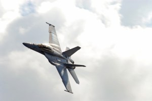
New sensors enhance F/A-18E/F for radar-denied environments
Under the contract awarded by prime contract Boeing, Lockheed Martin will upgrade the the F/A-18E/F’s IRST21 infrared system.
-

IMSAR unveils longer-range SAR radar
The NSP-5 ER offers an extended-range high-resolution imager for manned airborne platforms.
-

Army’s next-gen tank will be see-through with advanced sensors
The U.S. Army’s next-gen vehicle will bring to the table improved 360-degree situational awareness and hostile fire-detection tools, along with other enhancements.
-
Behind the hunt for a missing sub: sensors, underwater drones
The United States has deployed a NASA patrol plane equipped with advanced sensor technology and underwater drones from the U.S. Navy to help search for a missing Argentine submarine and its 44 member crew,
-
Counterterrorism chief stepping down later this year
Nick Rasmussen will leave the government at the end of this year.
-
Congressmen introduce bills to standardize agencies’ geospatial data
A reintroduced set of bills in the House and Senate would improve the standardization of geospatial data across federal agencies.
-
Satellite imagery offers clues to China’s intentions in Djibouti
China began construction of the base in March last year after it secured of a 10-year lease for what it had said will be a logistics support base used to resupply ships taking part in peacekeeping and humanitarian missions in the Gulf of Aden and Arabian Sea.
-
What World Bank learned from satellite images: ISIS sucked at oil production
It’s a good idea to understand how such a group can harness the resources it commands, and turn them into the fuel for a grotesque war machine. So, for all its bloodshed, how much oil did the Islamic State ultimately produce?
-
Planet Labs adds 10 imagery satellites to its flock
The six SkySat spacecraft and four miniature Dove satellites were launched Tuesday afternoon aboard an Orbital ATK Minotaur C rocket.
-
DARPA wants a tactical satellite imagery library
The Defense Advanced Research Projects Agency seeks to harness commercially available global satellite data for defense analysis.
-
New sensors enhance F/A-18E/F for radar-denied environments
Under the contract awarded by prime contract Boeing, Lockheed Martin will upgrade the the F/A-18E/F’s IRST21 infrared system.
-
IMSAR unveils longer-range SAR radar
The NSP-5 ER offers an extended-range high-resolution imager for manned airborne platforms.
-
Army’s next-gen tank will be see-through with advanced sensors
The U.S. Army’s next-gen vehicle will bring to the table improved 360-degree situational awareness and hostile fire-detection tools, along with other enhancements.
-
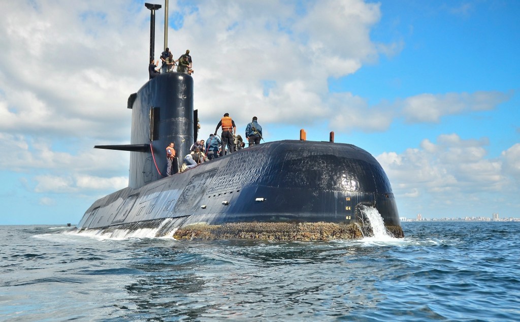
Behind the hunt for a missing sub: sensors, underwater drones
The United States has deployed a NASA patrol plane equipped with advanced sensor technology and underwater drones from the U.S. Navy to help search for a missing Argentine submarine and its 44 member crew,
-

Counterterrorism chief stepping down later this year
Nick Rasmussen will leave the government at the end of this year.
-

Congressmen introduce bills to standardize agencies’ geospatial data
A reintroduced set of bills in the House and Senate would improve the standardization of geospatial data across federal agencies.
-

Satellite imagery offers clues to China’s intentions in Djibouti
China began construction of the base in March last year after it secured of a 10-year lease for what it had said will be a logistics support base used to resupply ships taking part in peacekeeping and humanitarian missions in the Gulf of Aden and Arabian Sea.
-
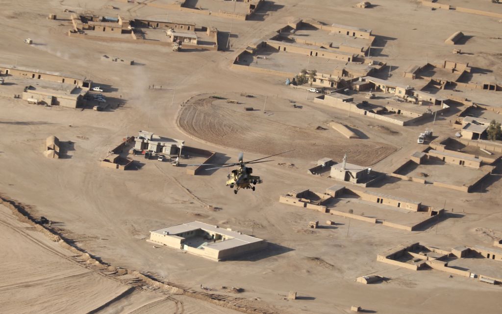
What World Bank learned from satellite images: ISIS sucked at oil production
It’s a good idea to understand how such a group can harness the resources it commands, and turn them into the fuel for a grotesque war machine. So, for all its bloodshed, how much oil did the Islamic State ultimately produce?
-
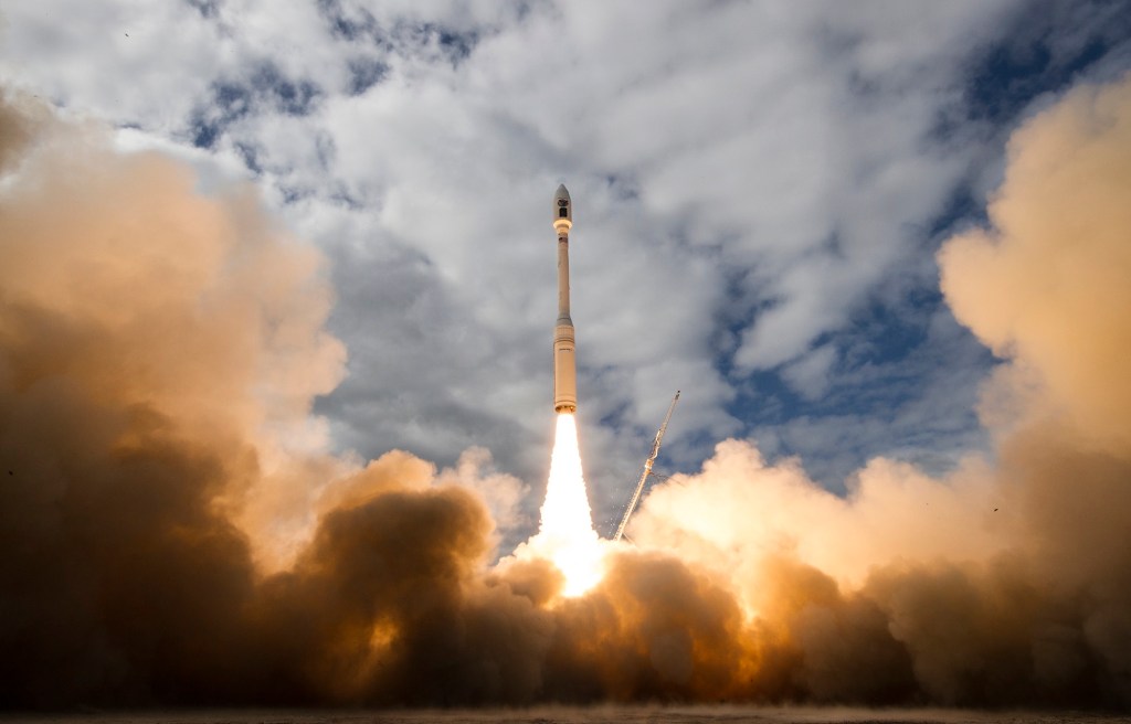
Planet Labs adds 10 imagery satellites to its flock
The six SkySat spacecraft and four miniature Dove satellites were launched Tuesday afternoon aboard an Orbital ATK Minotaur C rocket.
-
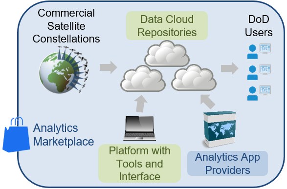
DARPA wants a tactical satellite imagery library
The Defense Advanced Research Projects Agency seeks to harness commercially available global satellite data for defense analysis.
-
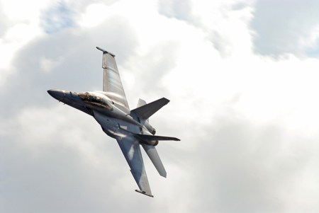
New sensors enhance F/A-18E/F for radar-denied environments
Under the contract awarded by prime contract Boeing, Lockheed Martin will upgrade the the F/A-18E/F’s IRST21 infrared system.
-

IMSAR unveils longer-range SAR radar
The NSP-5 ER offers an extended-range high-resolution imager for manned airborne platforms.
-
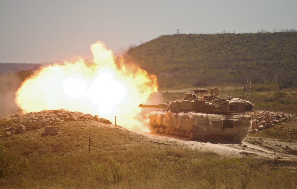
Army’s next-gen tank will be see-through with advanced sensors
The U.S. Army’s next-gen vehicle will bring to the table improved 360-degree situational awareness and hostile fire-detection tools, along with other enhancements.